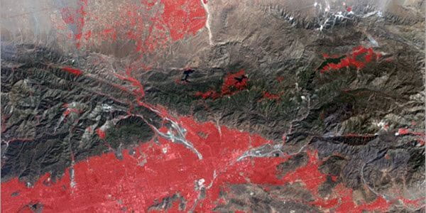
Deep Learning to Identify Human Settlements from Landsat Imagery

Need to identify human settlement areas from Landsat satellite images? Follow these steps using ArcGIS Pro. “Human settlements maps are useful in understanding growth patterns, population distribution, resource management, change detection, and a variety of other applications where information related


