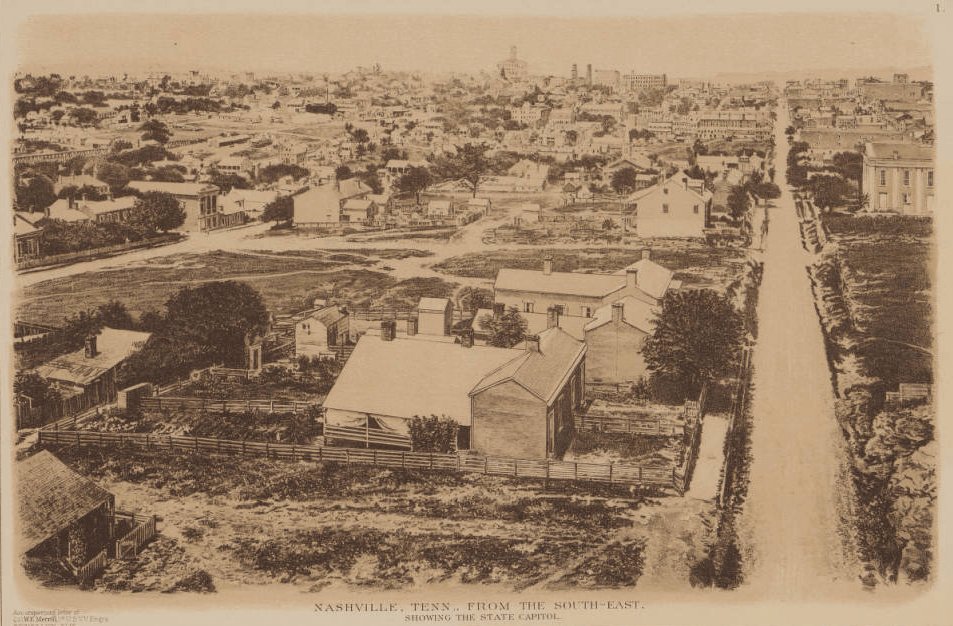
“Nashville, Tenn., from the South-East, Showing the State Capitol” from the “War of the Rebellion Atlas,” Series I. Vol. XLIX
Longtime readers of this blog may remember a post we wrote about a researcher at Middle Tennessee State University named Zada Law and her work to use GIS (Geographic Information System) data and our historic War of the Rebellion Atlas collection to map the Federal defenses of Nashville, Tennessee. Zada sent us an update via email recently, and it is a study in the nature of research in the digital humanities: a rollercoaster ride of progress, setbacks, new systems and the unending pursuit of new scholarship.
Initial Progress, Potential Setback, A New Idea
Zada reports that she went immediately to work georeferencing the maps at a large scale – 1 to 2500, for example. She eventually settled on putting them at the same scale they were published at: a scale of 1 to 25000. But as that process was wrapping up, she met someone at a conference who had already digitized the Nashville defenses. Zada says she “felt ‘lower than a duck’s instep’ (as my Dad would say).” But further discussions revealed the other researcher hadn’t pegged their data to known locations as Zada was doing, so her initial work wasn’t a lost cause. In reality, her discussion with her fellow researcher led to an exchange of data and the idea of producing a white paper dealing with best practices in “georeferencing historic maps and digitizing historic cultural landscape features.”
Computers and Software: Everyone’s Favorite Hassle
After connecting the digitized lines from the Atlas images to known entrenchment spots, Zada began to use LiDAR datasets (of enhanced elevation data) to look for entrenchment “signatures.” In her words: “Similar signatures = potential entrenchments = new conservation opportunities.” It seemed great progress was being made.
That’s when Zada had her “Aaaaccckkk!!” moment: realizing that the terabytes’ worth of LiDAR data she was attempting to manipulate in her GIS software was putting severe strain on her computers, which were “pretty darn good” at processing otherwise. She refocused her attention on how to best manipulate LiDAR data and had been making more progress when frustration came again, this time in the form of a software update that required “new licenses, new installations, new webinars for learning the new functionality, and doing a bunch of tutorials,” none of which addressed historic cultural landscape features.
In short: the technology Zada requires to do her research seemed to be conspiring against her.
Optimism Prevails
Despite these challenges, Zada remains optimistic about her research agenda. She said in her email, “But, I’m making progress. I’ve got new computers and new 3D data skills. All these take time working thru bureaucracy. I’ve also obtained LiDAR datasets for my AOI [area of interest] from two different years so I can compare changes and what might have been lost. My goal is to identify signatures of earthworks in LiDAR . Like I said at the beginning of this email, it’s been a steeper learning curve than I thought – but I’ll persevere!”
And that is the nature of working with digital assets in a scholarly setting. Progress followed by setbacks spurs a new idea and a change of direction. Software makes things easier, then more complicated, then easier again. It all costs money, time and effort, but ultimately, it may lead to the discovery of something thought lost since 1865 – or something unknown entirely until dogged persistence reveals it to the world.
We appreciate Zada’s willingness to share her challenges and breakthroughs with us in such an honest fashion, and we look forward to her continued success in her research. We will pass along any further updates we receive on her work with the hopes of being able to help her celebrate a discovery that benefits Civil War and geography scholars around the world.
Sources Consulted:
Email from Zada Law to Eric Ames, November 30, 2012
“War of the Rebellion Atlas Puts DPG on the Map in Tennessee.” DPG Digital Collections blog post, January 22, 2012
