For this week’s installment of Treats & Treasures, we’re discussing a vibrant Waco landmark: the Brazos River. The Brazos originates in northwest Texas and eastern New Mexico and flows for 820 miles to the Gulf of Mexico. Since before Stephen F. Austin’s 1821 arrival, Mexican and Indian settlers have been manipulating the river for their own needs. Because of its long history and cultural importance to Texas, many people question why this river hasn’t been more fully developed. Today, Dr. Kenna Lang Archer (a Baylor alum and the foremost authority on the Brazos River) will present a lecture to address this question and others at Baylor University.
The Baylor Collections of Political Materials and the Texas Collection are co-sponsoring Dr. Archer’s lecture at 3:30 PM, October 22nd 2015, in Bennett Auditorium at Baylor University. It promises to be a fascinating analysis of the Brazos’s history. If you’re unable to come in person, stay tuned; the lecture will be recorded and posted online at a later date.
Dr. Archer’s lecture, entitled “Unruly Waters, Dam Dreams & The House that Art Built,” argues that “any lack of development [of the river] is not due to a lack of effort.” In fact, Congressman W.R. Poage recognized the case for developing the Brazos in the 1950s. He introduced and passed the first resolution for the survey and development of the Brazos River and was instrumental in creating the Brazos River Authority. Because Congressman Poage was so involved with the Brazos River’s attempted development, our collection contains numerous related articles, contracts, and government documents. (Click to enlarge)
The Brazos River has flooded several times, sometimes to devastating effect. This document collects conservation efforts by The Brazos Overflow — a Temple, TX group dedicated to managing the Brazos — in 1936. The 1936 flood devastated the city of Temple and the surrounding landscape, resulting in “2500 made homeless” and “crop and property damage estimated in the millions [of dollars].” The drawing shows schematics for a mapping machine called “the Multiplex,” which used colored lights and photographs to create relief maps. This tool was useful in mapping water displacement.
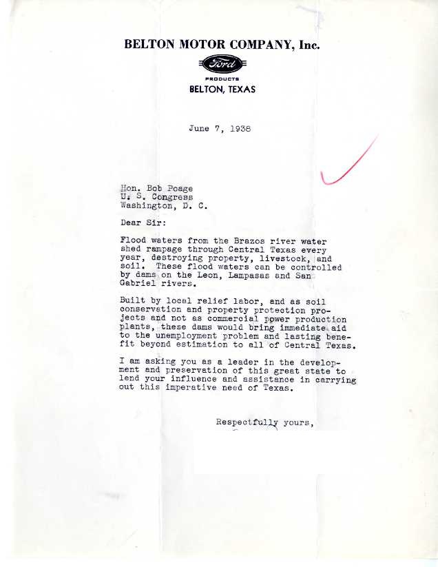
“Possum Kingdom” was the name of a proposed dam to help control the Brazos River flooding. This 1938 letter from a constituent details the need for such dams on the Brazos River.
The second letter is the first page of a Works Progress Administration (WPA) document summarizing and categorizing these dam projects’ locations and costs. More information is included on the second page (not pictured). Construction projects, especially government-funded ones, provided job opportunities for many Americans.
Constituents were habitually concerned about the state of the Brazos. This response from Congressman Poage, dated early 1941, references the bureaucratic difficulties of securing funding for dam construction as well as the escalating threat of Nazi Germany.
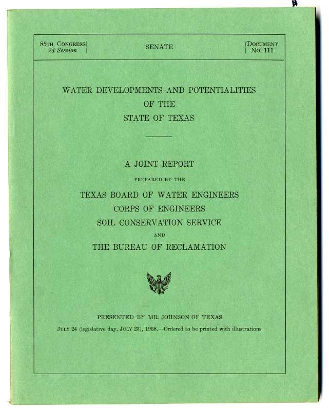
This is a 1958 report report from the Texas Board of Water Engineers, Corps of Engineers, Soil Conservation Service, and The Bureau of Reclamation. It includes relief maps, economic proposals, and growth predictions for Texas’s water supply, especially the Brazos River.


